Want to try before you buy?
Get my free resource library with digital & print activities—plus tips over email.
Join for Free Resources →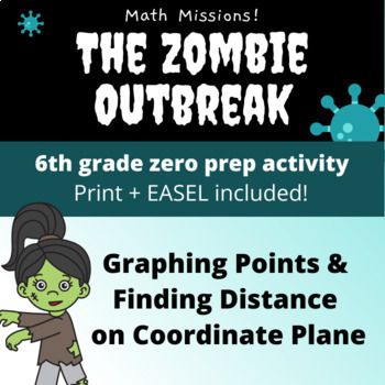
$3.99
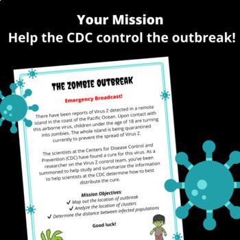
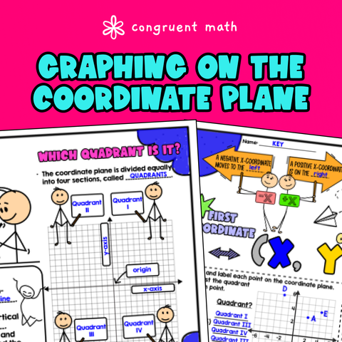
Buy on TPT →Get ready to engage your 6th-grade students with our Coordinate Plane Graphing & Distance Printable PDF! This fun, zombie apocalypse-themed activity helps kids master plotting points, identifying quadrants, and calculating distances while solving real-world problems. Aligned with CCSS 6.G.A.3, this resource makes math exciting and relevant. It's perfect for reinforcing concepts in coordinate planes and graphing while giving students an opportunity to think critically about their solutions. Plus, it's easy to use in any lesson plan!
What's included?
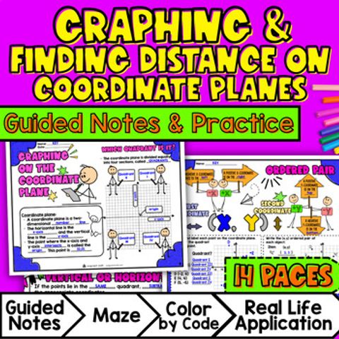
Your purchase includes two formats of the same activity:
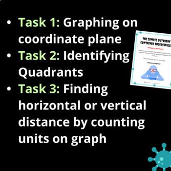
Each format includes the same tasks:
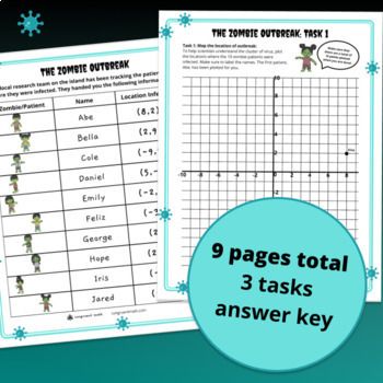
These tasks include 9 pages:
More math missions!
Before you go…
Each purchased license is for use in a single classroom. If you’d like to share with other teachers, please buy additional licenses. Thanks!
Lesson Plans
FREE
Guided Notes
$4.25
Worksheets
$3.00
Digital Activities
$3.99
Get my free resource library with digital & print activities—plus tips over email.
Join for Free Resources →